Norman Island, British Virgin Islands — CruisePort Map
cruiseports.org
Numbered points of interest near the cruise terminal. Red = walkable sights · Amber = excursions farther out · P = cruise terminal.
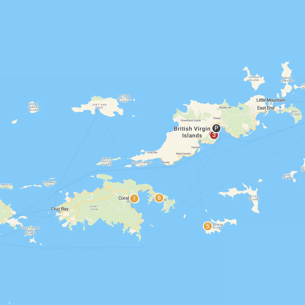
Map Key
- 1Carolina CorralA stable offering horseback riding adventures and animal encounters.
- 2Old Government House MuseumExplore a historic colonial residence now a fascinating museum.
- 3Queen Elizabeth II National ParkA beautiful botanical garden showcasing diverse local flora.
- 4Cyril B. Romney Tortola Pier ParkModern cruise pier with shops, restaurants, and local crafts.
- 5Treasure PointUnderwater caves perfect for snorkeling and diving adventures.
- 6South Haulover BeachA tranquil beach ideal for swimming and snorkeling.
- PCruise port / terminal
← Back to Norman Island, British Virgin Islands port guideMap © MapTiler © OpenStreetMap contributors