Lovund Island, Helgeland, Norway — CruisePort Map
cruiseports.org
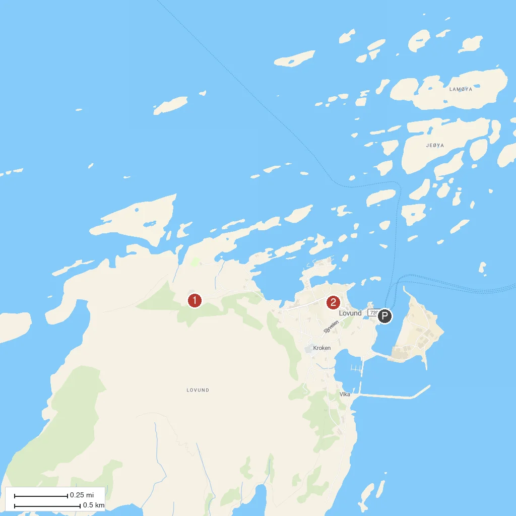
Numbered points of interest near the cruise terminal. Red = walkable sights · Amber = excursions farther out · P = cruise terminal.
Map Key
- 1Lovunden Puffin MountainSteep mountain above the village hosting one of Norway's largest puffin colonies, tens of thousands strong each summer.
- 2Lovund ChurchSmall modern church serving the tight-knit fishing community of Lovund island.
- PCruise port / terminal
← Back to Lovund Island, Helgeland, Norway port guideMap © MapTiler © OpenStreetMap contributors