Isla Gámez, Chiriquí, Panama — CruisePort Map
cruiseports.org
Numbered points of interest near the cruise terminal. Red = walkable sights · Amber = excursions farther out · P = cruise terminal.
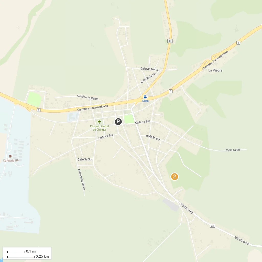
Map Key
- 1Isla Gamez beachSmall uninhabited islet ringed by a white-sand beach and coconut palms within Gulf of Chiriqui National Marine Park.
- 2Isla Bolanos reefNeighboring islet with coral reef known for large sea turtles, a short boat hop from Isla Gamez.
- PCruise port / terminal
← Back to Isla Gámez, Chiriquí, Panama port guideMap © MapTiler © OpenStreetMap contributors