Easter Island (Hanga Roa), Chile — CruisePort Map
cruiseports.org
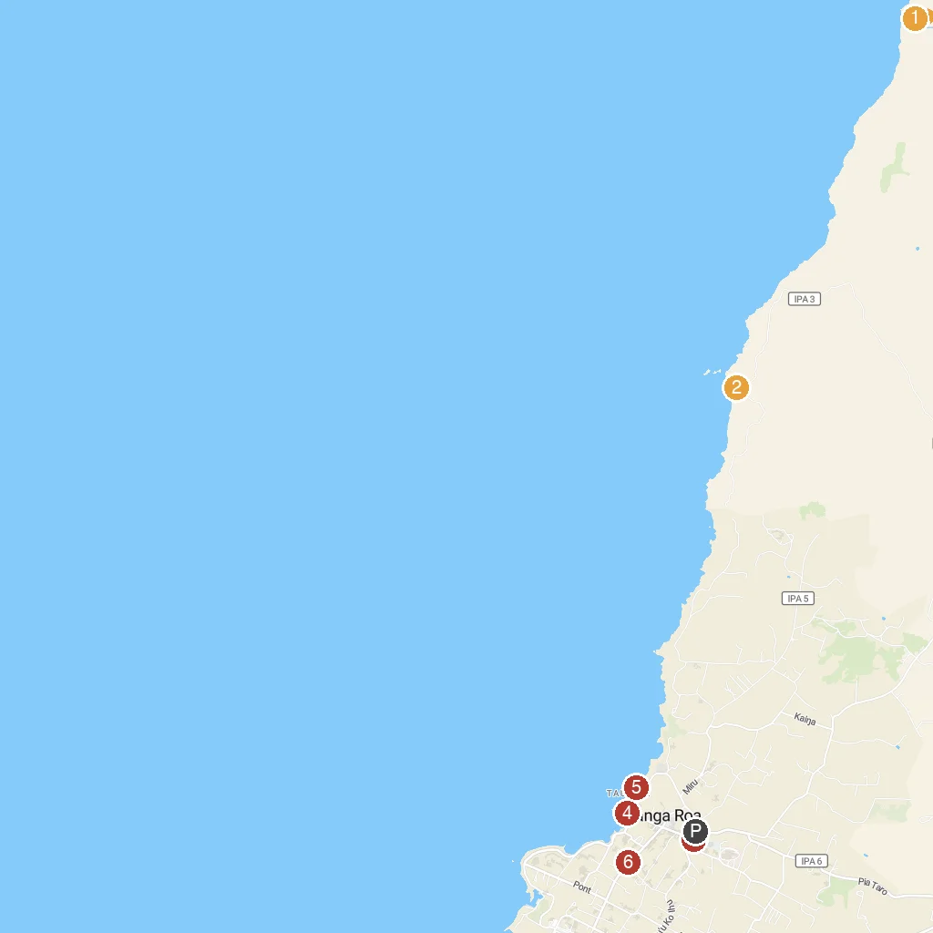
Numbered points of interest near the cruise terminal. Red = walkable sights · Amber = excursions farther out · P = cruise terminal.
Map Key
- 1Rapa Nui National Park-Land Of the Shark SpiritsIsland-wide national park protecting ancient Rapa Nui archaeological sites.
- 2Cueva De Las Dos VentanasA sea cave with two openings offering ocean views.
- 3Parroquia de la Santa CruzHanga Roa's main Catholic church, known for its unique carvings.
- 4Caleta Hanga RoaHanga Roa's main fishing cove and small boat harbor.
- 5Playa Poko PokoA small, secluded beach perfect for quiet relaxation.
- 6Varua OraCultural center offering traditional Rapa Nui music and dance performances.
- PCruise port / terminal
← Back to Easter Island (Hanga Roa), Chile port guideMap © MapTiler © OpenStreetMap contributors