Virgin Gorda, British Virgin Islands — CruisePort Map
cruiseports.org
Numbered points of interest near the cruise terminal. Red = walkable sights · Amber = excursions farther out · P = cruise terminal.
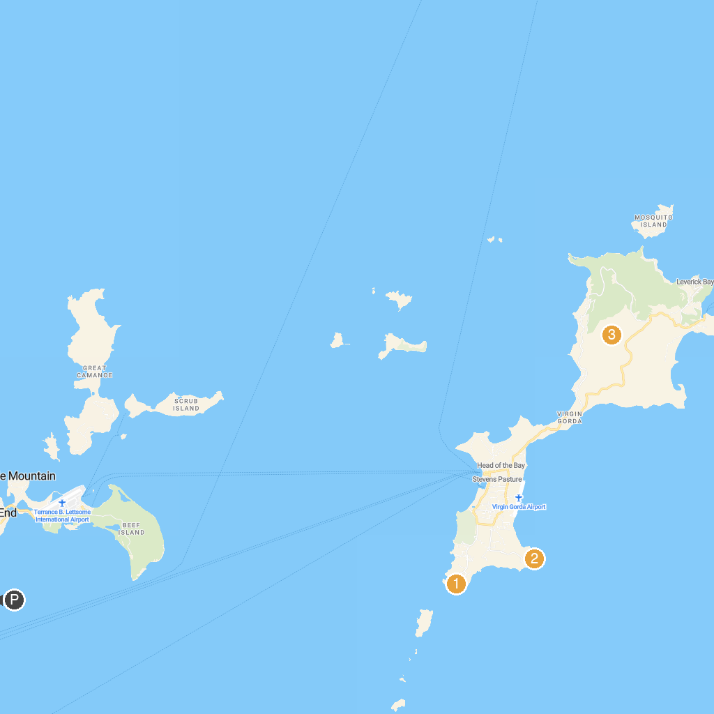
Map Key
- 1Devil's Bay National ParkBeautiful bay with a sandy beach and crystal-clear waters.
- 2Copper Mine National Park, Virgin GordaExplore ruins of a 19th-century British copper mine.
- 3Gorda Peak National ParkHike to Virgin Gorda's highest point for panoramic views.
- PCruise port / terminal
← Back to Virgin Gorda, British Virgin Islands port guideMap © MapTiler © OpenStreetMap contributors