Tuktoyaktuk, Northwest Territories, Canada — CruisePort Map
cruiseports.org
Numbered points of interest near the cruise terminal. Red = walkable sights · Amber = excursions farther out · P = cruise terminal.
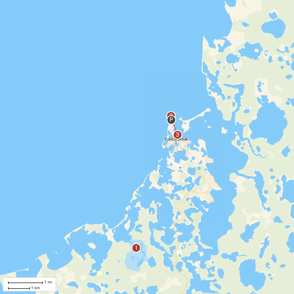
Map Key
- 1Ibyuk PingoCanada's tallest pingo at 49m, an ice-cored hill still growing about 2cm a year, protected within Pingo Canadian Landmark.
- 2Arctic Ocean SignMarker at the northern end of the Inuvik-Tuktoyaktuk Highway where visitors traditionally dip a toe in the Arctic Ocean.
- 3Tuktoyaktuk Ice HouseCommunity freezer dug into the permafrost in 1963, still used to store food year-round.
- PCruise port / terminal
← Back to Tuktoyaktuk, Northwest Territories, Canada port guideMap © MapTiler © OpenStreetMap contributors