Tristan da Cunha Island, South Atlantic, British Overseas Territory — CruisePort Map
cruiseports.org
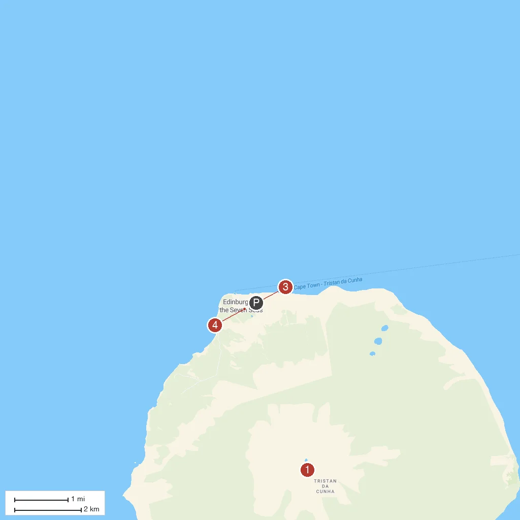
Numbered points of interest near the cruise terminal. Red = walkable sights · Amber = excursions farther out · P = cruise terminal.
Map Key
- 1Queen Mary's PeakAn active volcano and the island's summit at 2,062 meters, with a heart-shaped crater lake that can freeze in winter.
- 2Thatched House MuseumA traditional volcanic-stone Tristan cottage with a flax-thatched roof, preserved to show the island's historic way of life.
- 3The Potato PatchesCenturies-old walled agricultural plots outside the settlement where islanders still grow potatoes behind wind-sheltering stone walls.
- 4St Mary's ChurchThe Anglican parish church in the settlement, one of the few permanent public buildings on this remote island.
- PCruise port / terminal
← Back to Tristan da Cunha Island, South Atlantic, British Overseas Territory port guideMap © MapTiler © OpenStreetMap contributors