Stanley, Falkland Islands — CruisePort Map
cruiseports.org
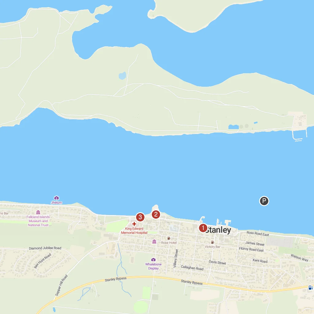
Numbered points of interest near the cruise terminal. Red = walkable sights · Amber = excursions farther out · P = cruise terminal.
Map Key
- 1Christ Church CathedralStanley's historic Anglican cathedral, the world's southernmost.
- 2Falkland Islands Museum and National TrustDiscover Falklands history, culture, and natural history at this museum.
- 31982 Liberation MemorialCommemorates the 1982 liberation of the Falkland Islands.
- PCruise port / terminal
← Back to Stanley, Falkland Islands port guideMap © MapTiler © OpenStreetMap contributors