San Andrés Island, Caribbean, Colombia — CruisePort Map
cruiseports.org
Numbered points of interest near the cruise terminal. Red = walkable sights · Amber = excursions farther out · P = cruise terminal.
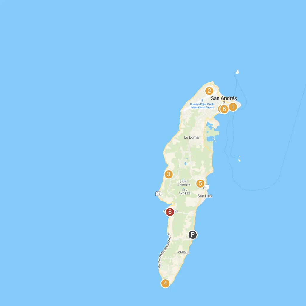
Map Key
- 1Muelle PortofinoA lively pier for boats, tours, and scenic views.
- 2Sarie BayRelax on this calm bay's sandy beach.
- 3Morgan's CaveExplore a legendary pirate cave with an underground lake.
- 4Hoyo SopladorWitness a natural blowhole spraying water high into air.
- 5Jardín Botánico de San AndrésDiscover diverse island flora at this botanical garden.
- 6San Andres DiversYour go-to for scuba diving and snorkeling excursions.
- 7Parque Simon BolivarA central town park for relaxation and people-watching.
- 8Plazoleta Coral PalaceA vibrant public square near the Coral Palace hotel.
- PCruise port / terminal
← Back to San Andrés Island, Caribbean, Colombia port guideMap © MapTiler © OpenStreetMap contributors