Rothenburg ob der Tauber, Bavaria, Germany — CruisePort Map
cruiseports.org
Numbered points of interest near the cruise terminal. Red = walkable sights · Amber = excursions farther out · P = cruise terminal.
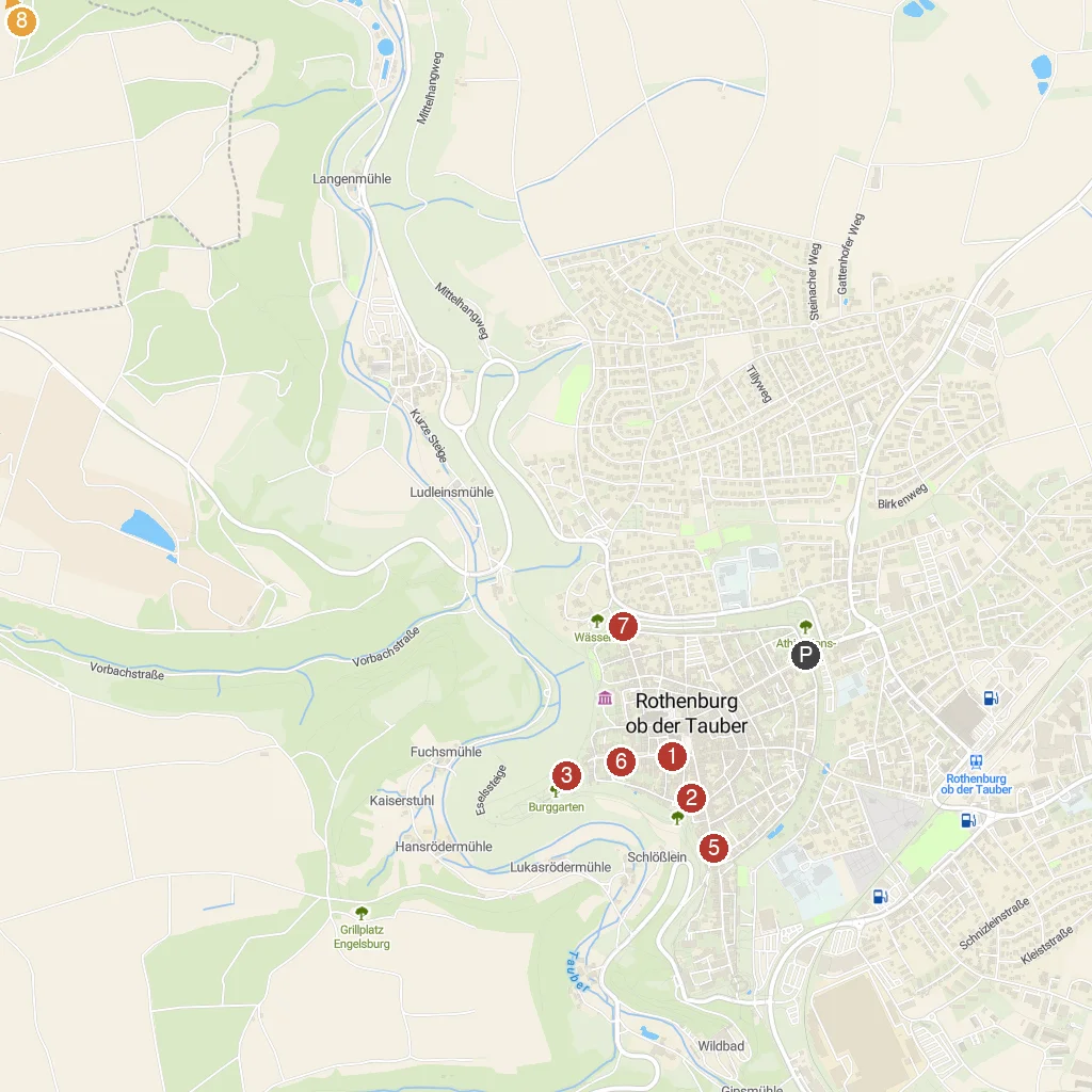
Map Key
- 1German Christmas MuseumMuseum showcasing traditional German Christmas decorations and history.
- 2Medieval Crime MuseumMuseum of medieval justice, torture, and punishment.
- 3Castle GardenScenic garden on the former imperial castle grounds.
- 4Gallows GateHistoric city gate, once leading to the gallows.
- 5PlönleinIconic picturesque square with fountain and half-timbered houses.
- 6FranziskanerkircheHistoric Franciscan church with beautiful altars.
- 7Blade GateHistoric city gate, part of the old town wall.
- 8KeltenwallAncient Celtic defensive wall remains, predating the city.
- PCruise port / terminal
← Back to Rothenburg ob der Tauber, Bavaria, Germany port guideMap © MapTiler © OpenStreetMap contributors