Rose Island, New Providence, Bahamas — CruisePort Map
cruiseports.org
Numbered points of interest near the cruise terminal. Red = walkable sights · Amber = excursions farther out · P = cruise terminal.
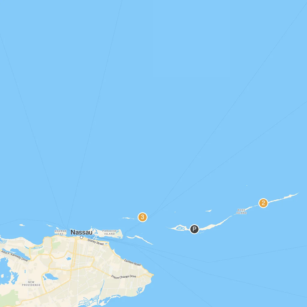
Map Key
- 1Sandy Toes, BahamasSandy Toes is a private island resort offering beach activities.
- 2Da'Pig BeachDa'Pig Beach is where you swim with friendly pigs.
- 3Blue Lagoon Island BahamasBlue Lagoon Island is a private island for dolphin encounters and beaches.
- PCruise port / terminal
← Back to Rose Island, New Providence, Bahamas port guideMap © MapTiler © OpenStreetMap contributors