Rabaul, East New Britain, Papua New Guinea — CruisePort Map
cruiseports.org
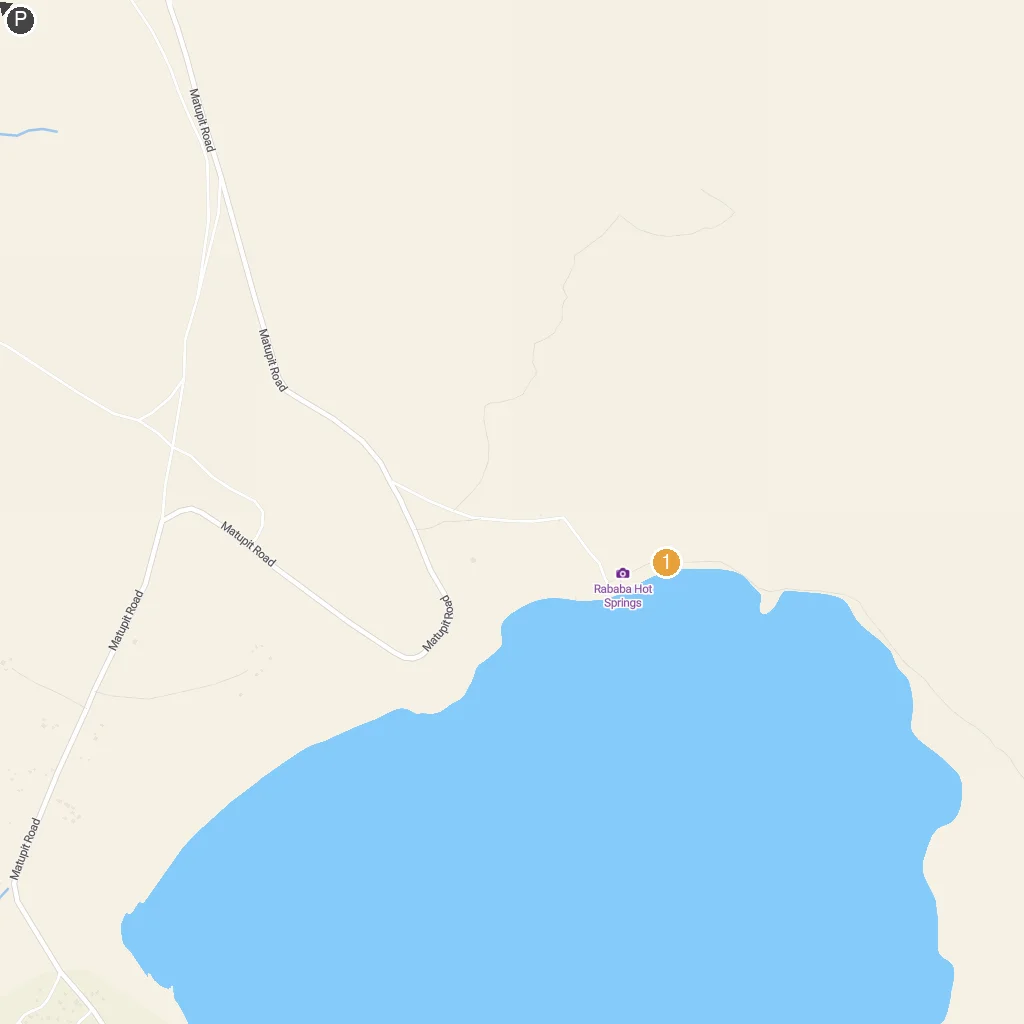
Numbered points of interest near the cruise terminal. Red = walkable sights · Amber = excursions farther out · P = cruise terminal.
Map Key
- 1Rababa Hot SpringsNatural geothermal springs offering warm, mineral-rich waters for bathing.
- PCruise port / terminal
← Back to Rabaul, East New Britain, Papua New Guinea port guideMap © MapTiler © OpenStreetMap contributors