Palmerston Island, Cook Islands — CruisePort Map
cruiseports.org
Numbered points of interest near the cruise terminal. Red = walkable sights · Amber = excursions farther out · P = cruise terminal.
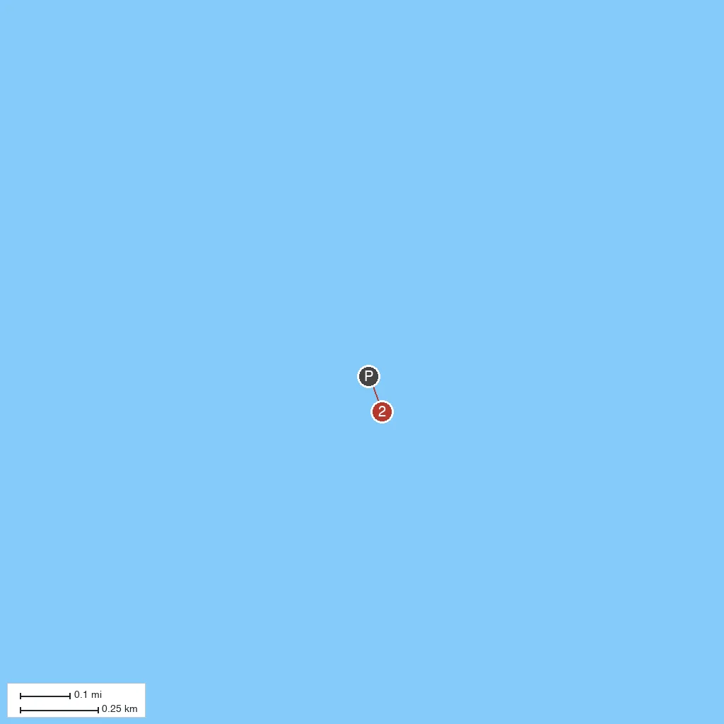
Map Key
- 1Palmerston Island VillageTiny coral-atoll settlement founded by William Marsters in the 1860s, whose descendants still populate the island.
- 2Palmerston Atoll LagoonTurquoise lagoon ringed by a coral reef and small motu islets, home to abundant marine life.
- PCruise port / terminal
← Back to Palmerston Island, Cook Islands port guideMap © MapTiler © OpenStreetMap contributors