Nanortalik, South Greenland, Greenland — CruisePort Map
cruiseports.org
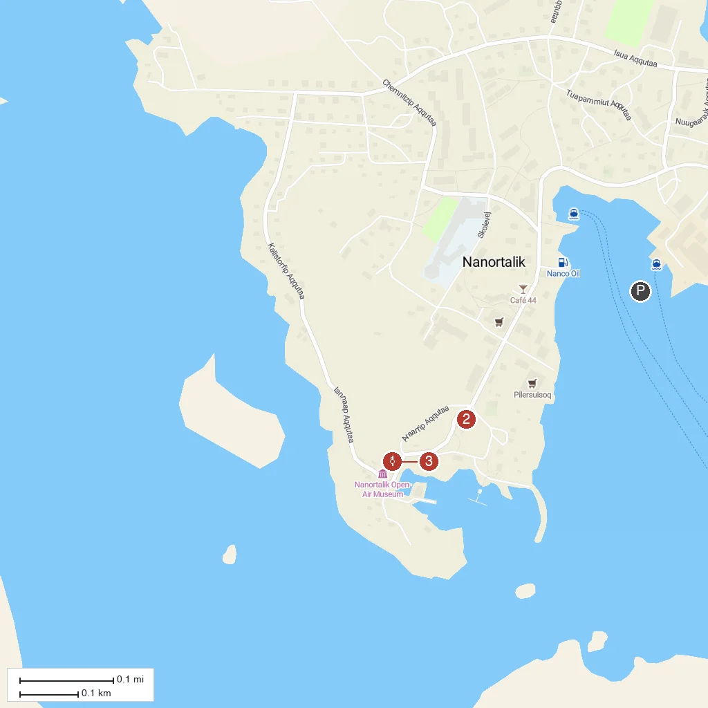
Numbered points of interest near the cruise terminal. Red = walkable sights · Amber = excursions farther out · P = cruise terminal.
Map Key
- 1Nanortalik MuseumTen historic colonial-era buildings preserved as an open-air museum, with kayak, umiak, and Norse-clothing exhibits.
- 2Nanortalik ChurchCharming wooden church near the old colonial harbour, a centerpiece of the preserved 19th-century townscape.
- 3Qaqqarsuasik (Big Mountain)Peak rising directly behind town, climbed via a marked trail for panoramic views over Nanortalik's fjords and skerries.
- PCruise port / terminal
← Back to Nanortalik, South Greenland, Greenland port guideMap © MapTiler © OpenStreetMap contributors