Isla de la Plata, Manabí, Ecuador — CruisePort Map
cruiseports.org
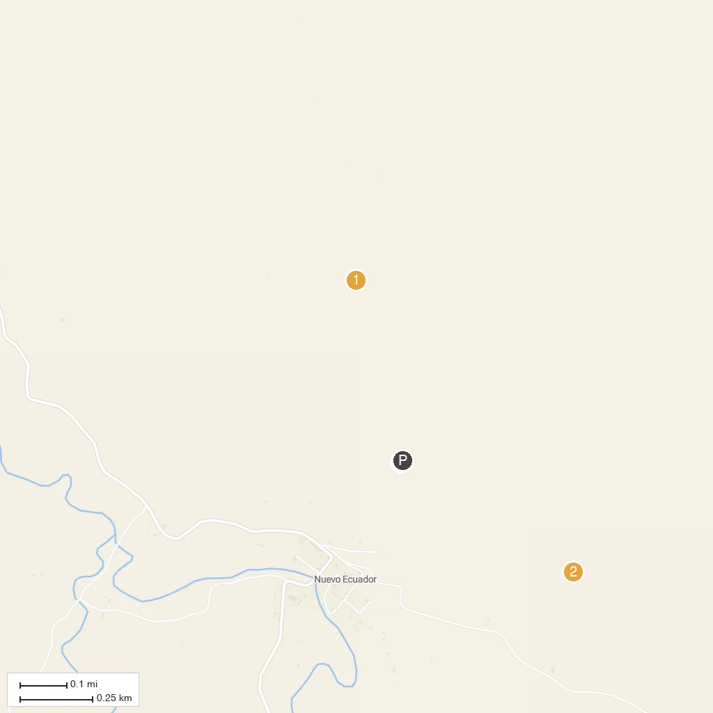
Numbered points of interest near the cruise terminal. Red = walkable sights · Amber = excursions farther out · P = cruise terminal.
Map Key
- 1Sendero Punta EscaleraCliffside hiking trail where blue-footed boobies nest right beside the path, part of Machalilla National Park.
- 2Sendero FrailesLonger loop trail across the island's arid highlands, favored for spotting frigatebirds and Nazca boobies.
- 3Bahia Drake landing beachSheltered cove used as the island's main tender landing, named for the legend of Sir Francis Drake anchoring here.
- PCruise port / terminal
← Back to Isla de la Plata, Manabí, Ecuador port guideMap © MapTiler © OpenStreetMap contributors