Devil's Island, Salvation Islands, French Guiana — CruisePort Map
cruiseports.org
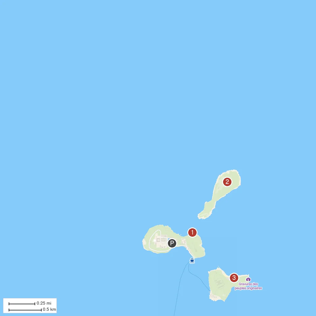
Numbered points of interest near the cruise terminal. Red = walkable sights · Amber = excursions farther out · P = cruise terminal.
Map Key
- 1Île Royale Prison RuinsRuins of the main administrative buildings of France's notorious penal colony, active until 1953.
- 2Devil's IslandThe smallest and most infamous of the Salvation Islands, once used to isolate political prisoners including Alfred Dreyfus.
- 3Île Saint-JosephFormer solitary-confinement island of the penal colony, now overgrown with jungle trails through the ruins.
- PCruise port / terminal
← Back to Devil's Island, Salvation Islands, French Guiana port guideMap © MapTiler © OpenStreetMap contributors