Coche Island, Nueva Esparta, Venezuela — CruisePort Map
cruiseports.org
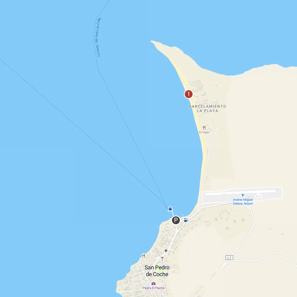
Numbered points of interest near the cruise terminal. Red = walkable sights · Amber = excursions farther out · P = cruise terminal.
Map Key
- 1Coche BeachA beautiful beach perfect for swimming and water sports.
- PCruise port / terminal
← Back to Coche Island, Nueva Esparta, Venezuela port guideMap © MapTiler © OpenStreetMap contributors