Cabo San Lucas, Baja California Sur, Mexico — CruisePort Map
cruiseports.org
Numbered points of interest near the cruise terminal. Red = walkable sights · Amber = excursions farther out · P = cruise terminal.
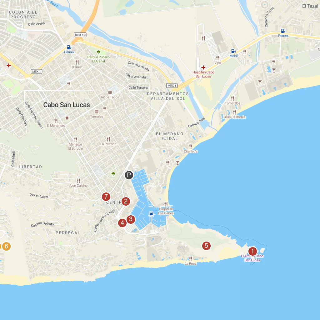
Map Key
- 1The Arch of Cabo San LucasIconic natural rock arch at Land's End.
- 2Playwin CasinoA casino offering slots, table games, and entertainment.
- 3Cabo Shark DiveAn exciting tour for diving with sharks.
- 4Cultural Pavilion of the RepublicA modern venue for cultural events and performances.
- 5Mt. SolmarA prominent mountain offering scenic views and hiking.
- 6Quivira Los CabosA luxury residential and resort community with amenities.
- 7Museum of Natural History in Cabo San LucasA museum showcasing regional natural history and paleontology.
- PCruise port / terminal
← Back to Cabo San Lucas, Baja California Sur, Mexico port guideMap © MapTiler © OpenStreetMap contributors