Barentsøya Island, Svalbard, Norway — CruisePort Map
cruiseports.org
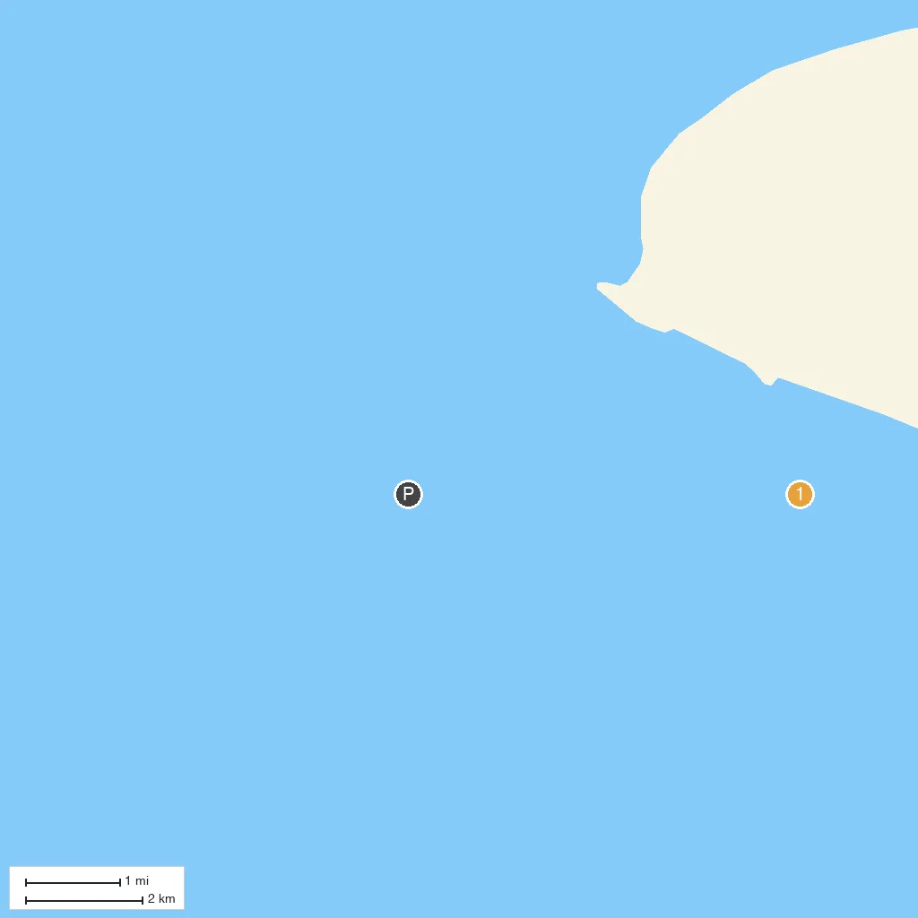
Numbered points of interest near the cruise terminal. Red = walkable sights · Amber = excursions farther out · P = cruise terminal.
Map Key
- 1Barentsjøkulen Ice CapThe dominant ice cap covering much of Barentsøya, feeding outlet glaciers including Freemanbreen and Hübnerbreen toward the coast.
- PCruise port / terminal
← Back to Barentsøya Island, Svalbard, Norway port guideMap © MapTiler © OpenStreetMap contributors